One source of truth for the infrastructure that keeps places moving.
INTAKTIS brings GIS asset data, documentation, and day-to-day work together in one map-based system, so operators can see what they have, what has changed, and what needs attention.
Book a Demo
Thanks! We'll be in touch shortly.
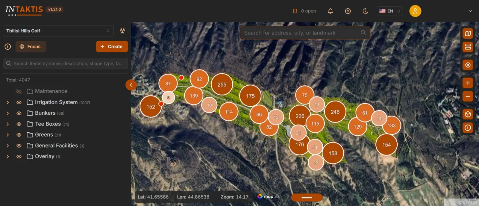
See INTAKTIS in action.
Watch a short screen recording to see how teams create mapped assets, attach information, and manage work in INTAKTIS.
Infrastructure data should work as hard as the infrastructure itself.
Large developments and infrastructure operators rely on GIS layers, drawings, PDFs, spreadsheets, photographs, videos and inspection records. When that information sits across separate systems, inboxes and individual devices, teams lose time finding what they need.
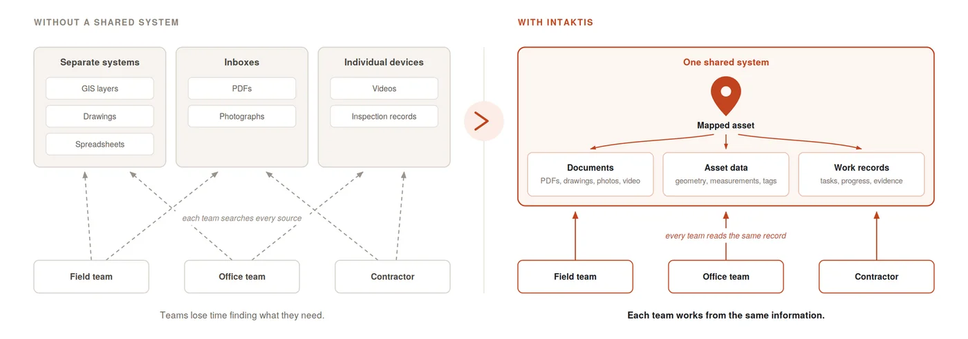
Bring mapped assets, information, and operational work together.
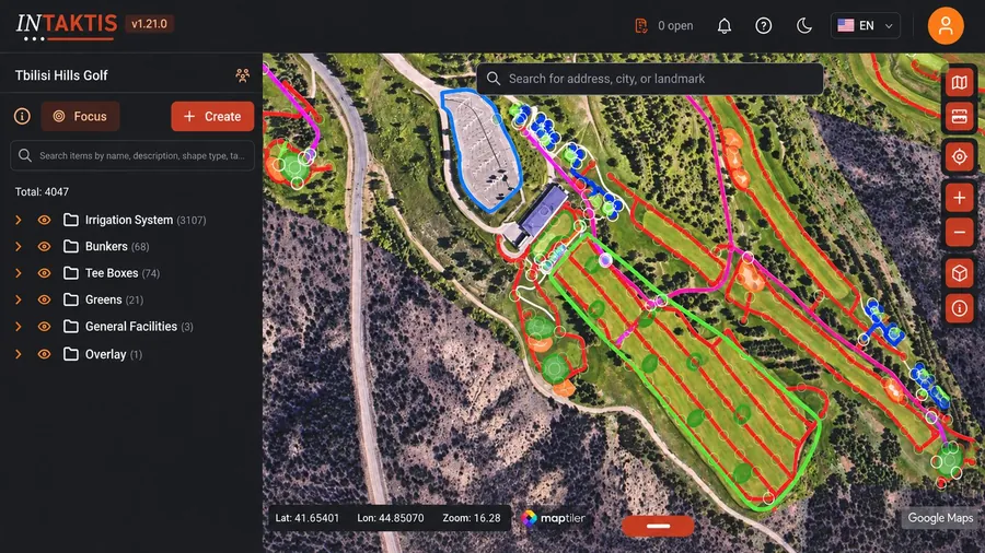
Create, import and organize mapped assets.
Create, import, edit, and organize infrastructure assets as points, lines, and polygons across 2D and 3D maps. Calculate lengths and areas, add tags and color coding, and structure assets into clear hierarchies.
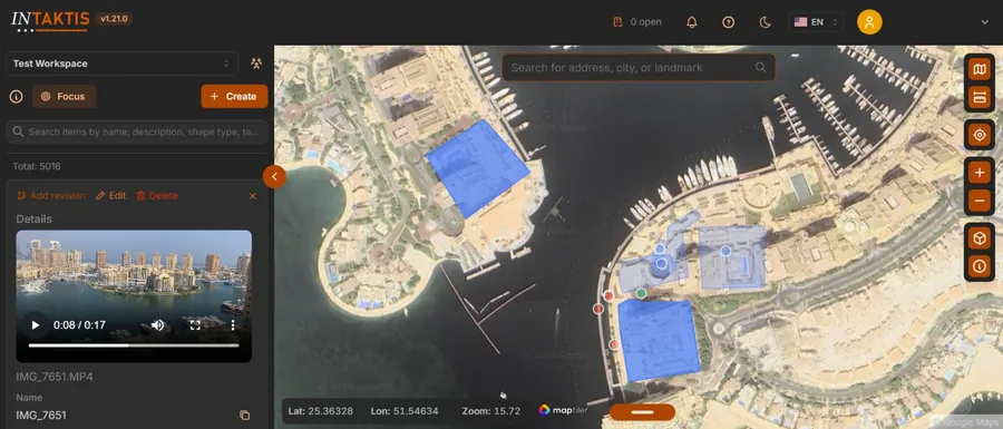
Attach supporting information to each asset.
Attach photographs, videos, PDFs, websites, raster maps, and other information directly to the assets and locations they describe.
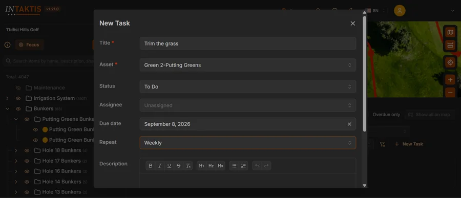
Assign, track and close out work in place.
Create tasks against specific assets, assign responsibility, set deadlines, schedule recurring work, share progress updates, and attach supporting files as evidence of completion.
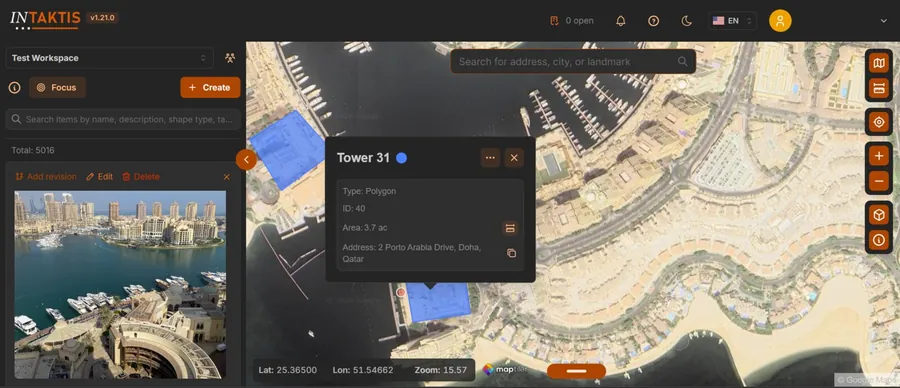
Keep a structured operational history.
Keep earlier file and map versions available for reference, compare changes over time, and build a structured operational history for each asset.
Faster access to infrastructure information.
INTAKTIS is testing advanced AI features that could help users search and interpret infrastructure information. Individual features will be described when their scope and availability are confirmed.
Operational information, connected to the assets it describes.
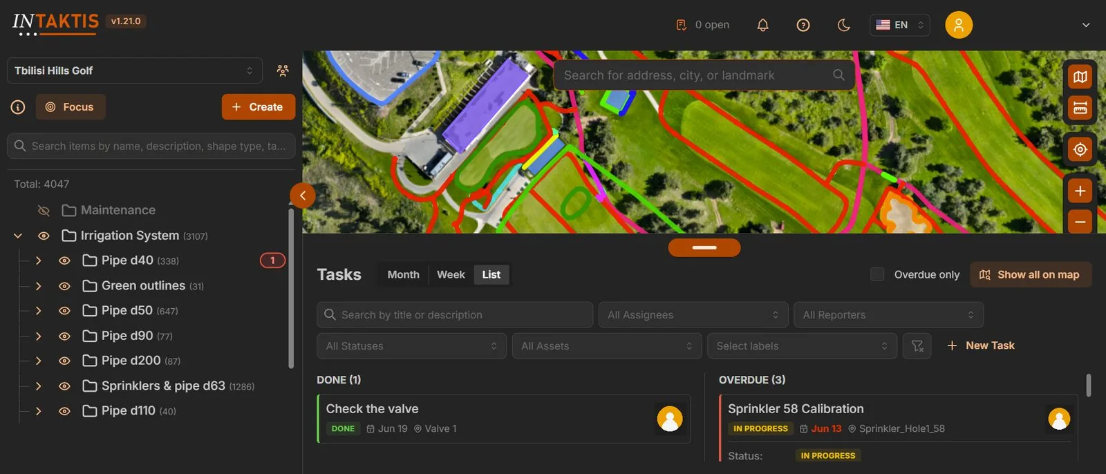
From infrastructure data to day-to-day work.
Bring your infrastructure data together.
Import or create mapped assets and add existing documents, imagery, technical information, and operational records.
Create a single operational view.
Structure assets into clear hierarchies and keep supporting information connected to the infrastructure it describes.
Manage work against each asset.
Create asset-linked tasks, assign responsibility, and retain progress updates and completion evidence in the same system.
Choose the package that fits your operation.
INTAKTIS is available in Standard, Professional, and Enterprise packages. Contact us to discuss your assets, users, and implementation requirements.
Single Source of Truth
- Up to 5,000 assets on INTAKTIS
- 100GB storage
- 10 seats
- Standard SLA
- Onboarding included
Single Source of Truth + Tasking
- Up to 15,000 assets on INTAKTIS
- 500GB storage
- 50 seats
- Priority SLA
- Everything in Standard
Single Source of Truth + Tasking + Customer Support
- Custom asset cap on INTAKTIS
- Custom storage
- Unlimited seats
- Premium SLA + dedicated CSM
- Custom deployment & terms
Packages are billed annually.
Book a Demo
Thanks! We'll be in touch shortly.
Where INTAKTIS is already at work.
INTAKTIS is being validated through paid proof-of-concept projects in construction, master-planned community operations, and golf course maintenance. Each project tests the platform against a defined operational requirement.
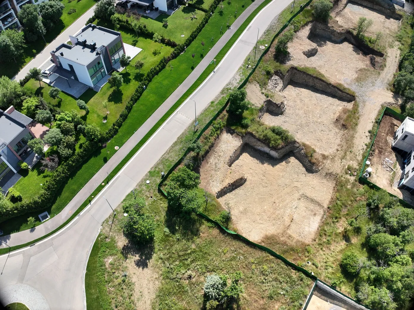 MASTER-PLANNED COMMUNITY · TBILISI, GEORGIA
Tbilisi Hills Estate
Tbilisi Hills is a 331-hectare master-planned community combining residential development, an 18-hole golf course, and extensive supporting infrastructure.
"We want to use INTAKTIS for centralizing our day-to-day operational tasks, issues and resident requests in one shared platform, including task assignment, status, progress updates and photo evidence, to enable faster, more consistent resolution and reduce dependence on any one person's operational knowledge."
Ivan Roos, Construction Project Manager, Tbilisi Hills Golf and Residences
 GOLF COURSE OPERATIONS · TBILISI, GEORGIA
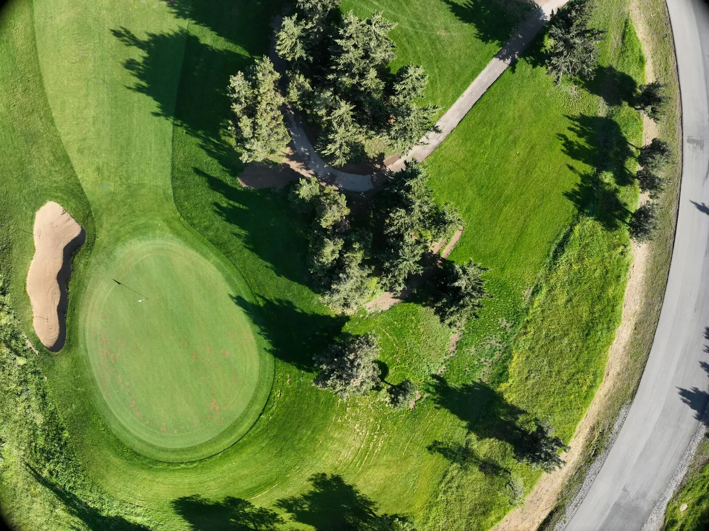
Tbilisi Hills Golf
Tbilisi Hills Golf is Georgia's only professional 18-hole golf course, extending across 60 hectares within the wider Tbilisi Hills development.
"We want to use INTAKTIS for linking our maintenance tasks to specific course assets and locations, with status updates and photo evidence, to enable me and my team to view open and completed work, verify completion directly in the platform and maintain a basic maintenance history for each asset."
Paul Pohi (PGA), Director of Golf, Tbilisi Hills Golf Management
 RESIDENTIAL DEVELOPMENT · CONSTRUCTION STAGE · SAGURAMO, GEORGIA
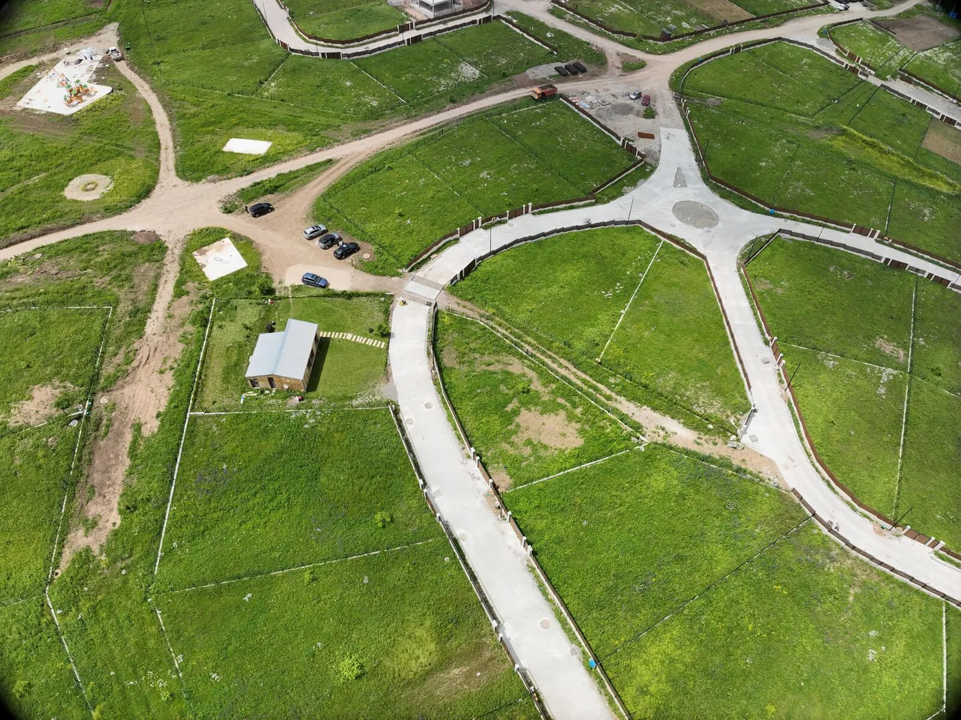
Shinwood
Shinwood is a 35-hectare residential development near Saguramo, with 289 ready-to-build plots and extensive supporting infrastructure.
"We want to use INTAKTIS for capturing our infrastructure as it is built in a single, map-based system, combining asset data, documentation and timestamped tracking of completed and outstanding work, to enable a complete and verifiable record ready for handover to our future operations team."
Nikoloz Kevkhishvili, Managing Partner, Rectus Development
Built for how different teams operate.
Physical assets are spread across sites, while drawings, photographs, inspection records, and maintenance tasks often live in separate systems. INTAKTIS links that information to the relevant asset and location on the map.

Coordinate Work Across Dispersed Network Assets
Bring towers, network assets, inspection records, and assigned work into one mapped view. Teams can record site findings, coordinate follow-up, and retain a history for each asset.

Connect Asset Records, Inspections and Maintenance
Link field evidence and technical records to distributed infrastructure assets. Assign inspections and maintenance work from the same system.

Build a Clearer Record of Conditions and Repairs
Map road assets and connect each location to condition records, photographs, and repair tasks. Teams can prioritize issues and retain a record of completed work.
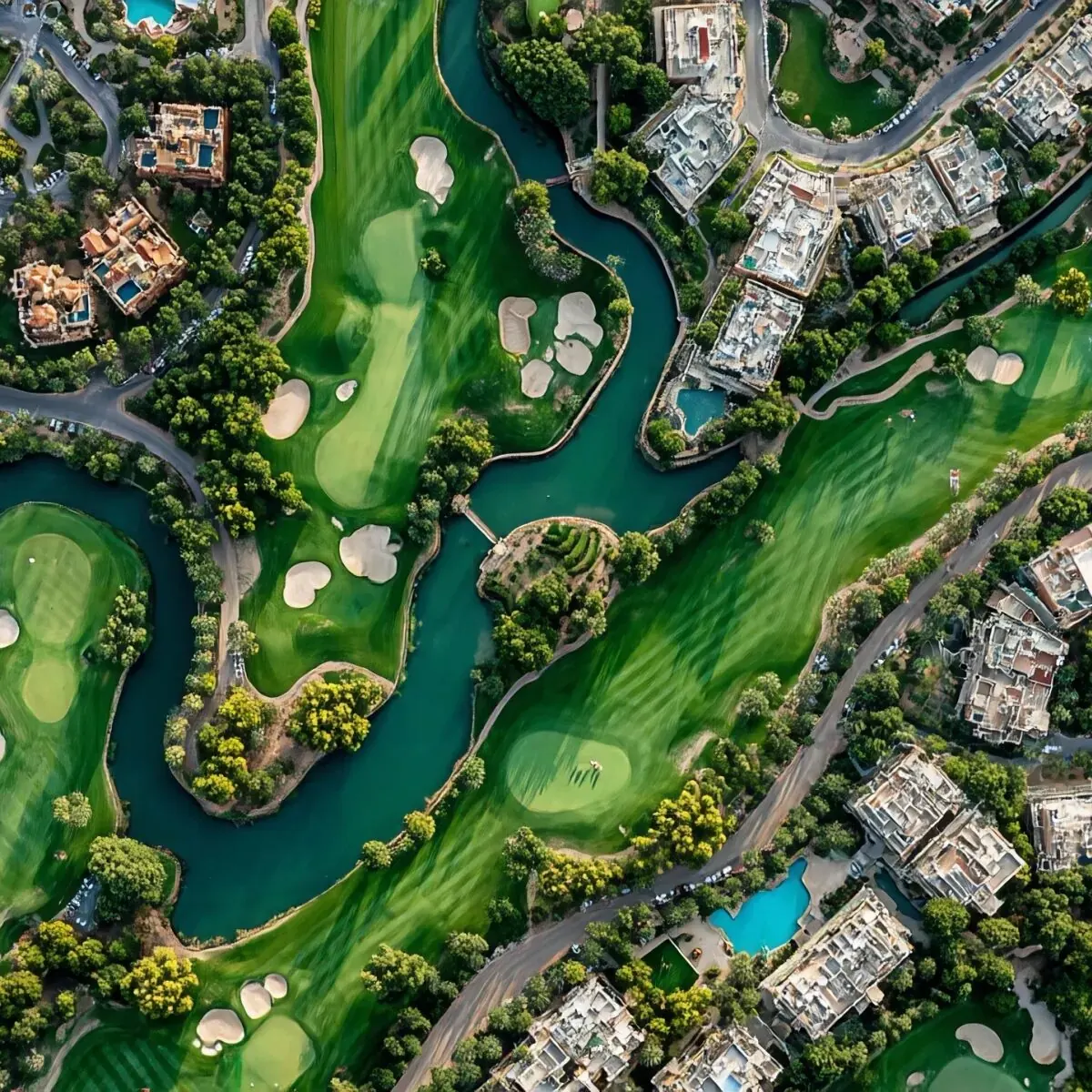
Coordinate Maintenance Across Complex Sites
Link maintenance tasks, progress updates, and completion evidence to course, landscape, and facility assets. Managers can review open, overdue, and completed work by location.

Connect Field Evidence to Irrigation Assets
Map irrigation assets and keep field observations, photos, and maintenance tasks tied to the relevant location. Teams can record issues and coordinate follow-up across the site.
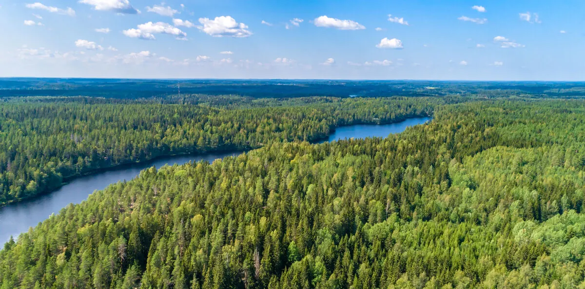
Maintain Location-Based Records Across Large Areas
Map assets and areas of interest, then attach field observations, incident records, and supporting evidence. Updated records make it easier to review changes and coordinate work across large areas.
Where INTAKTIS shows up.
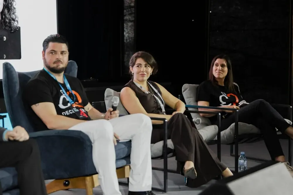
INTAKTIS at Global Tech Weekend Tbilisi
The INTAKTIS team had a booth at Global Tech Weekend Tbilisi 2026, which brought together more than 10,000 attendees.
The team showcased the platform and explored how drone mapping and digital infrastructure management tools can support smarter decision-making and help build more resilient infrastructure.

Innovation Through Connection: INTAKTIS at Web Summit Qatar 2026
The INTAKTIS team participated in Web Summit Qatar 2026, a pivotal event that strengthened product development and market positioning and opened new avenues for collaboration.
Over three days in Doha, we met with technology partners, enterprise operators, and founders across AI and next-generation digital infrastructure. These conversations gave us practical insight into real-world challenges, strengthened existing partnerships, and advanced several opportunities already underway.
Focused conversations. Clear alignment. A productive week.
The insights gained will directly shape the next phase of our product roadmap, with customer trials beginning in March, reinforcing our commitment to building resilient, future-ready infrastructure solutions.
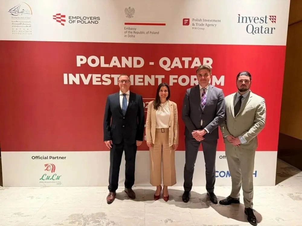
INTAKTIS at the Poland-Qatar Investment Forum
Presented its product for the first time.
INTAKTIS made its first public appearance at the Poland-Qatar Investment Forum, held on 24 November at the Andaz Doha by Hyatt hotel. The startup showcased its platform, which addresses long-standing challenges in infrastructure management, to an audience of investors and business leaders from both countries.
"This was a great opportunity for us to get visibility among potential customers and investors in Qatar, as well as among the Polish business community there," said Julia Schwarz, CEO of the company and Co-Founder of Georgian drone solution provider December32. INTAKTIS Co-Founders CTO Mieszko Mularczyk and COO Robert Rak, also Co-Founders of drone software expert Apptimia, are from Poland.
The team returned from Doha with new connections among investors and business leaders from both countries, and several conversations already underway for future collaboration.
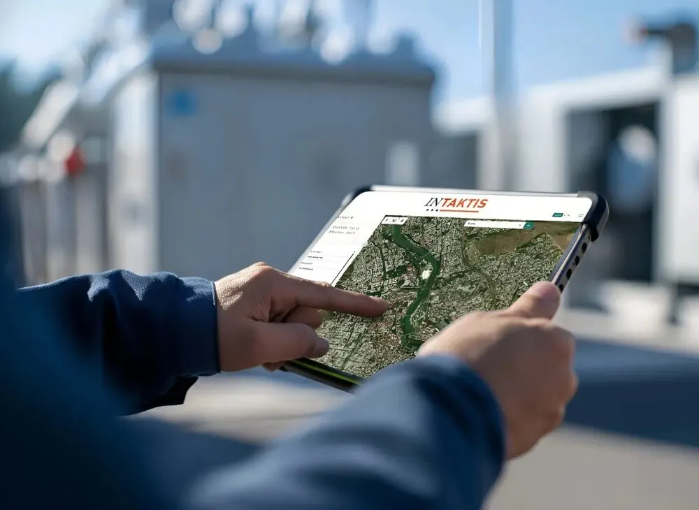
INTAKTIS: Keeping Infrastructure Intact
Transforming infrastructure management with smart, integrated technology.
From energy networks to transportation systems and public services, INTAKTIS is redefining how infrastructure is managed, monitored, and maintained.
INTAKTIS is a next-generation platform designed to modernize infrastructure operations, giving operators, engineers, and institutions a unified, map-focused interface to collaborate in real time. Teams can track assets, coordinate repairs, and increase transparency in public infrastructure management.
The platform combines GIS asset visualization, secure media and document storage, workflow coordination, and AI-driven insights into one connected system, helping teams turn field data into operational clarity, reduce downtime, and increase accountability.
More than software, INTAKTIS is laying the foundation for an integrated digital infrastructure ecosystem that links operators, agencies, and communities through shared data, smarter workflows, and a shared commitment to maintaining the infrastructure we all rely on.
Common questions.
Make your infrastructure data work for you.
One platform. One source of truth. Better infrastructure operations.
Book a Demo
Thanks! We'll be in touch shortly.